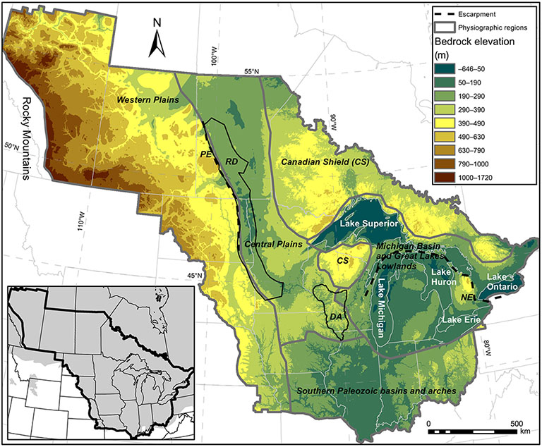
Quoting IU Research Impact, "What did North America look like before ice-sheets streamed across it, carving out lakes and flattening fields? For the first time, a research team including IU scientists has reconstructed a view of North America’s mid-continent, before glaciers changed the landscape forever.
Tens of thousands of years ago, ice advanced and retreated across the continent, reshaping the land surface and river systems in the process. But the full extent of how the landscape changed has been unclear, because what the terrain looked like before the ice sheets did their work wasn’t known.
“It’s very challenging to know what the initial topography looked like prior to any glaciation, because it’s either covered by ice or eroded away,” said Doug Edmonds, Boyce Chair of Geological Sciences in IU Bloomington’s Department of Earth and Atmospheric Sciences and co-author on the study. “But knowing the starting condition is essential to defining how much erosion or deposition has occurred and where.
“We know the landscape that resulted from glaciation because we live on that surface, but this work allows us to know what the starting point looked like, too,” Edmonds said."
EAS Professor Brian Yanites and IGWS Hydrogeologist Dr. Shawn Naylor, along with Professor Andrew Wickert from the University of Minnesota were co-authors.
Read the article in Science Advances


 The College of Arts